


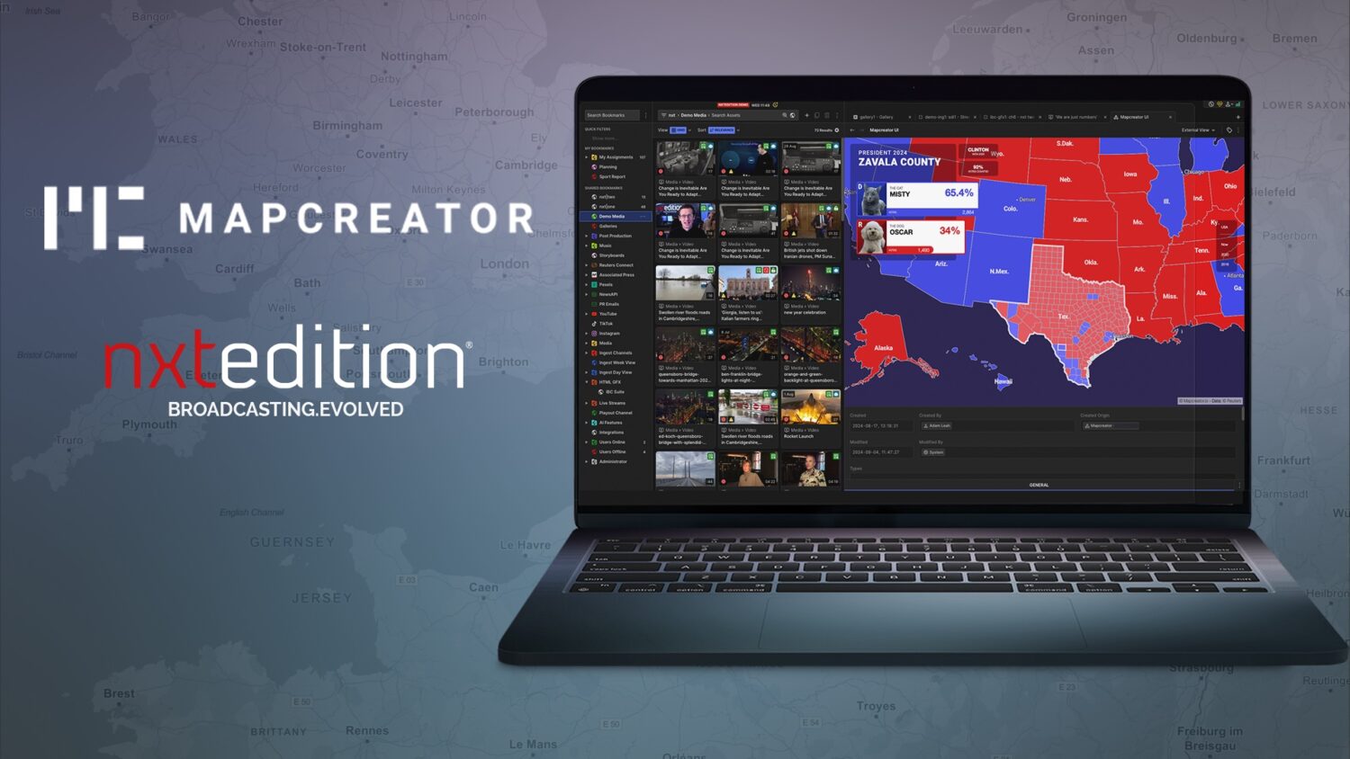
Innovator in live production environments nxtedition, has announced a partnership with Mapcreator to embed their HTML-based map solution directly within the nxtedition platform, further enabling production teams to realise their creative vision without advanced technical expertise.
Complex interactive or static cartographic visualisations and post production for animation are a thing of the past with Mapcreator, helping those in news media to create data-driven static, interactive or animated maps quickly and easily, without ever compromising on quality.
Mapcreator’s goal is to help democratise mapmaking in news organisations. The intuitive tool empowers non-designers such as reporters, editors and producers to make consistently good professional-quality maps tailored to their stories and publish them quickly.
This is especially true for the staple of any newsroom: the locator map. Design staff can focus on setting styling defaults for consistent branding and creating more complicated visuals, while those in the newsroom can easily produce maps to hit deadlines.
“Mapcreator is an HTML solution which means the user interface slots really nicely into nxtedition,” said Adam Leah, Creative Director at nxtedition. “We have often been asked about a map solution and are delighted to now offer this option as it’s built on the same technologies as ours. nxtedition can put Mapcreator graphics onto videowalls and transmission using HD-SDI or SMPTE ST-2110. The HTML maps can be dynamically rendered in real-time, so we just play the HTML graphic sequence directly.”
Locations in Mapcreator’s satellite and street maps are 100% accurate, anywhere in the world. Map animations allow broadcasters to incorporate real-time data into reporting. Ready-to-use live data layers not only provide real-time information, but also help visualise world events. Live data maps provide a comprehensive and reliable source of information, ready for breaking news stories like drought, hurricanes and earthquakes.
Maps can also be exported in web embed code for websites, meaning that the same map displayed on air can be used on the website making dual use of maps possible. Maps for news can be shared in a secure team environment for updates and time-saving archives. Data is imported for multiple locations with simple drag-and-drop.
With control over transition times, visibility of items, fading in or out of elements and an intuitive timeline, creating seamless animations has never been easier. Customised branded maps can be created to cater to the user’s unique requirements and needs with personalised fonts, map styles, customised icons and text boxes.
Visit nxtedition on stand 7.A02 and Mapcreator on stand 8.F94 at IBC2024, or find out more at nxtedition.com.